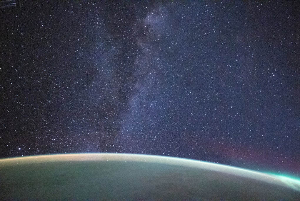
Negli ultimi decenni, la vulnerabilità delle regioni montane agli eventi estremi è a causa degli impatti generati da fenomeni come la riduzione dei ghiacciai, tempeste, ed annate siccitose, la cui frequenza ed intensità sono aumentati. Nell’Istituto per l’Osservazione della Terra, monitoriamo le dinamiche della superficie terrestre nelle regioni montane per comprenderne i cambiamenti, investigarne le cause e supportare le comunità locali.
1 - 8
il nostro Istituto durante l'evento annuale Klausur, un incontro di una giornata in cui si discute sulla direzione della nostra ricerca e dei temi futuri.Credit: Eurac Research | Andrea De Giovanni
This image is view from the atmosphere of the city of Bolzano (Italy), created with a composition of data from two Copernicus satellite missions. The left part is a so-called "false color composite", using Sentinel-2 band 8 (near infrared), band 4 (red) and band 3 (green) for the EGB image channels. It is most commonly used to assess plant density and health. The central part is a color composition based on Sentinel-1 radar back-scatter of the two available polarizations, VV and VH. The right part is the classical RGB composite, using Sentinel-2 band 4 (red), band 3 (green) and band 2 (blue) for the RGB image channels. It resembles what our vision sees naturally and what we would see in a standard photo.Credit: Claus | Michele | All rights reserved
Copertura nevosa media 2000-2019 da dati satellitariCredit: Eurac Research
Evoluzione della coerenza interferometrica considerando coppie interferometriche consecutive di 6, 12 e 18 giorni. Dati Sentinel-1 A/B su Doñana (Spagna)Credit: Eurac Research
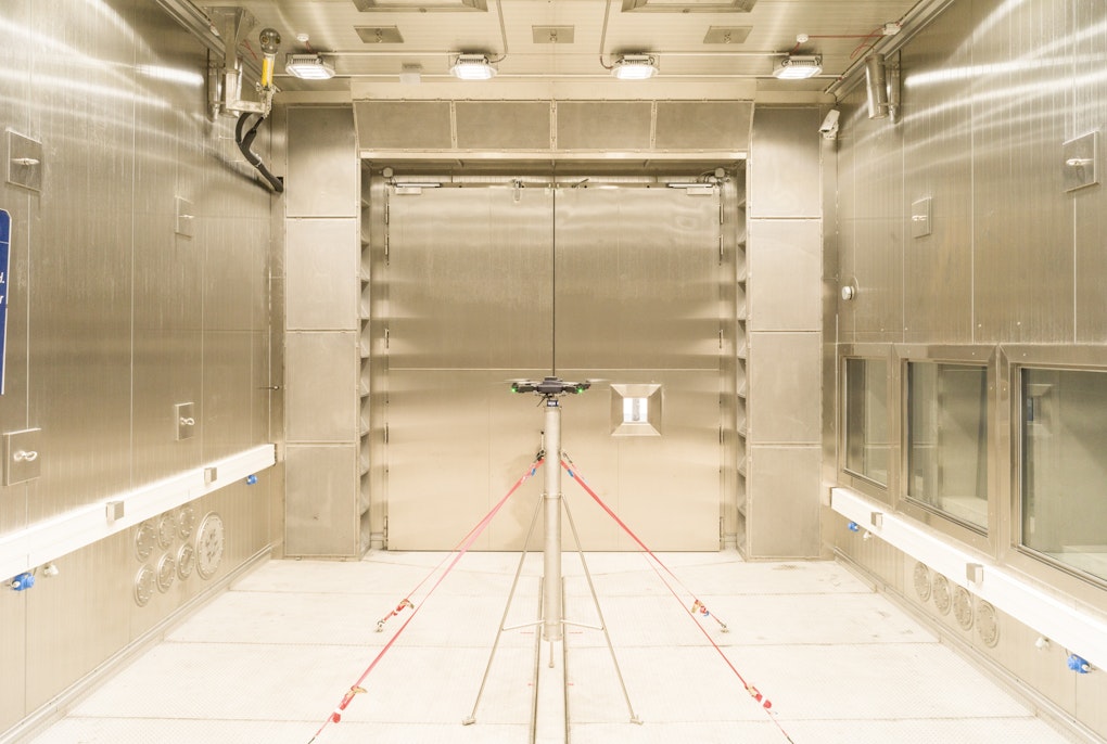
Le misurazioni a terra sono state fatte da otto gruppi, in corrispondenza della rotta dell’aereo che montava la tecnologia da testare. Le misurazioni sono state fatte a intervalli di pochi metri. La temperatura in quota era attorno ai -15 °C con, a tratti, fortissime raffiche di vento.Credit: Eurac Research | Maurizio Gretter
La nostra ricercatrice sta raccogliendo dati sull'indice di area fogliare (LAI) e sulla resa foraggera.Credit: Eurac Research | Laura Stendardi