Institutes & Centers
Institute for Regional Development - News & Events - Atlas of ecological connectivity
20 April 23
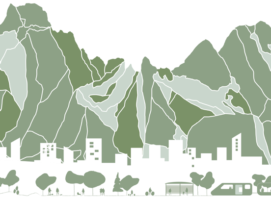
Atlas of ecological connectivity
The Atlas identifies the main areas for ecological networking between the Alps and Dinaric Mountains
- Deutsch
- English
- Italiano
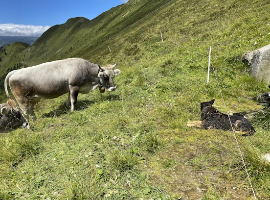
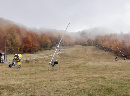
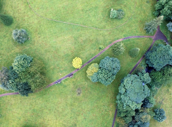
Over a period of three years, the Eurac working group developed and applied a GIS model for ecological connectivity between Alps and Dinaric Mountains area to identify the main areas for ecological networking, the main corridors for animal movement and the barriers provided by human activities. This publication was produced within the framework of the Interreg ADRION DINALPCONNECT project Transboundary ecological connectivity of Alps and Dinaric Mountains.
Other News & Events
1 - 10