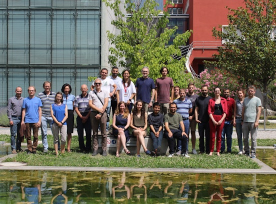
ACR_Water
Assimilating Cosmic-Ray Neutron and Remote Sensing Data for Improved Water Resource Management
- Project duration: -
- Project status: finished
- Funding: Provincial P.-L.P. 14. Research projects (Province BZ funding /Project)
- Institutes: Institute for Earth Observation, Center for Sensing Solutions
The knowledge on the state of the individual components of the hydrological cycle is essential for both water resources management and climate change adaptation in mountain regions. A number of approaches exist to monitor mountain water resources including in-situ measurements, remote sensing, and hydrological modelling. All of the methods have specific advantages and drawbacks, in particular when applied in mountain regions. To overcome the limitations of conventional approaches in mountain regions, a multi-dataset assimilation framework based on complementary information sources is proposed. The innovative approach incorporates an energy balance-based snow hydrological model, a new generation of high-resolution and high-accuracy space-borne data and novel area-average in-situ data from Cosmic-Ray Neutron Sensing (CRNS). The key benefit of aboveground CRNS is its intermediate scale footprint of several hectares being insensitive to local variations of soil moisture and Snow Water Equivalent (SWE). The added-value of space-borne data is its ability to map spatial patterns over large areas. Multi dataset data assimilation based on a particle batch smoother algorithm allows for combining these complementary information sources with the skills of hydrological modelling. A hydrological model suitable for modelling mass and energy fluxes in mountain regions is used. Both data sets are refined to improve their accuracy and thus their value for the assimilation scheme. Efforts are made to reduce the data requirements for calibrating CRNS in alpine environments for fully snow-covered and fully snow-free conditions and to separate the contributions of SWE and soil moisture during snow melt. This is achieved by a combination of remotely sensed SCF data and neutron modelling. New approaches for generating high accuracy and high-resolution Snow Cover Fraction (SCF) data exploiting an innovative concept for multi-source satellite image integration based on machine learning are developed. Based on the combination of the developments regarding CRNS and SCF, a local data assimilation scheme is applied. Furthermore, the improved data is used together with state-of-the-art space-borne soil moisture data for catchment and regional scale data assimilation. The strength-driven combination of spatial patterns of SCF and top layer soil moisture with temporally continuous CRNS observations enables a new quality of water resource analysis.
The project is a Provincial -L.P.14 research project. The final objective of the project is the improvement of the estimation of the parameters relative to the water resources (in particular, SWE and soil moisture) through a data assimilation approach. In particular, for Eurac this project supports the consolidation of our snow and soil moisture products. The Eurac role regards, in the first phase of the project, the implementation of algorithms for a new generation of high-resolution and high-accuracy space-borne products. Then, the Eurac team will contribute to the assimilation scheme as described above.
Contact persons: Giovanni Cuozzo giovanni.cuozzo@eurac.edu, Claudia Notarnicola, Claudia.notarnicola@eurac.edu and Ludovica De Gregorio, Ludovica.DeGregorio@eurac.edu
Project funded by
Mejia-Aguilar A, Schattan P, Cuozzo G, de Gregorio L, Notarnicola C (2023)
Presentation/Speech
Conference: Virtual Alpine Observatory Symposium 2023 | Grainau | 21.3.2023 - 23.3.2023
More information: https://www.vao.bayern.de/symposium2023.htm
Cuozzo G, Barella R, Corvalan FM, De Gregorio L, Greifeneder F, Premier V, Mejia-Aguilar A, Notarnicola C (2023)
Presentation/Speech
Conference: ACR_Water (Assimilating Cosmic-Ray Neutron and Remote Sensing Data for Improved Water Resource Management) Workshop | Bolzano | 21.6.2023 - 21.6.2023
Schattan P, Winter B, Van der Laan L, Gafurov A, Meißl G, Cuozzo G, Greifeneder F, Premier V, Huttenlau M, Stötter J, Förster K
(2022)
Presentation/Speech
Conference: EGU General Assembly 2022 | Vienna | 22.5.2022 - 27.5.2022
More information: https://doi.org/10.5194/egusphere-egu22-12251


