myALPICS
Experience and document the changes in our Alps together.
Our high alpine environments are constantly changing: glaciers are melting, streams are carving out new paths, plants are colonising areas released by glaciers and landslides are shifting rocks and debris. While large-scale changes can be well documented over decades, there are hardly any observations of localised or sudden events, which are often only visible for a short time. This means that we are missing an important building block to better understand the current changes, especially in connection with climate change.
But together we can close this gap: We all always carry a small measuring device with us, even when we are out in the mountains - our smartphone. The in-built cameras can not only be used to record special memories of hikes, but also to document changes that have occurred with the help of photos. We can then use these for further spatial analyses. In this way, we can all contribute directly to understanding the current effects of climate change in the high mountains without much effort.
To make it as simple as possible, we have developed myALPICS: An app with which everyone can document their observations using photos and simply share them with us. But that's not all: we have processed hundreds of historical photos that show the sometimes dramatic changes in our Alps by comparing the past and present. With myALPICS, the locations where the photos were taken can be found using an interactive map and the historical photos can be visualised and re-photographed. In this way, we can all experience the past up close with myALPICS. Let us surprise you and help us!
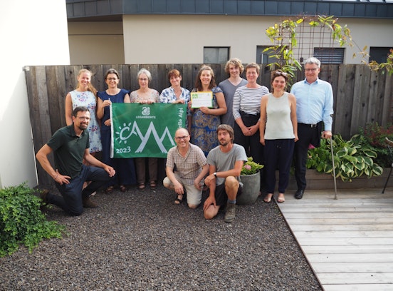
myALPICS is being developed jointly by the Vienna University of Technology and EURAC Research in Bolzano. At the start of the project, we are initially focussing on two alpine valleys in Austria (Kaunertal) and Italy (Martelltal). However, this selection can be expanded during the project according to demand and interest. Further information on the project itself, downloading and installing the app can be found at www.myalpics.com